
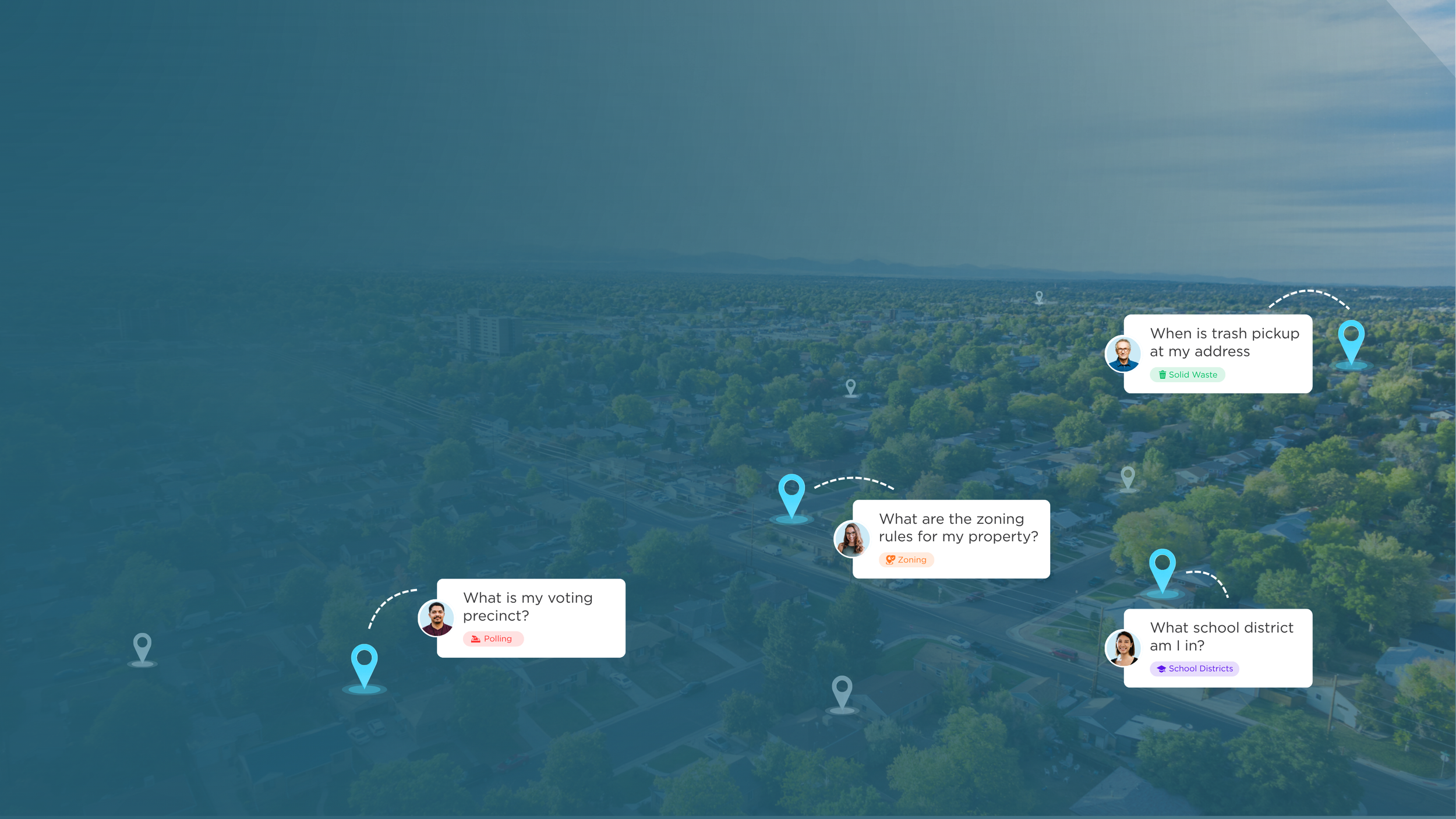
Answers That Know Where They Are
GIS-Powered Chat
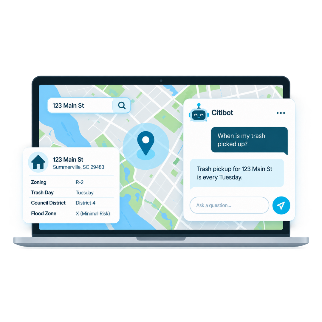
Citibot connects your GIS data—parcels, zoning, service areas, districts, and more—so residents get precise, address specific answers instantly.
One Question. A Different Answer for Every Address.
Why it Matters
Residents ask questions that sound simple: When is my trash picked up? What district am I in? Can I build this on my property?
But the right answer often depends on where they live. Citibot connects conversations to your GIS data, allowing residents to get answers based on their actual address instead of searching maps, navigating department pages, or calling staff.
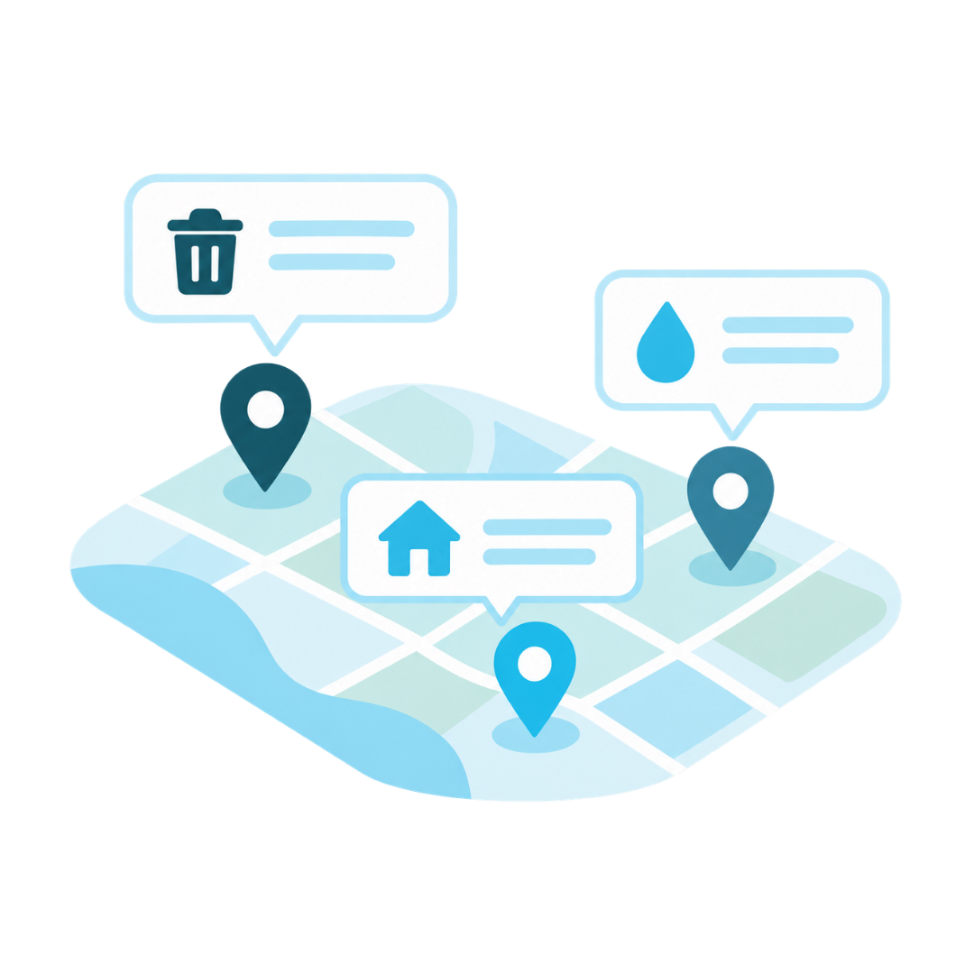
More Relevant Answers
Give residents information specific to their property, neighborhood, district, or service area.

Less Searching, Fewer Calls
Residents get location-specific answers without navigating maps, department pages, or GIS portals.
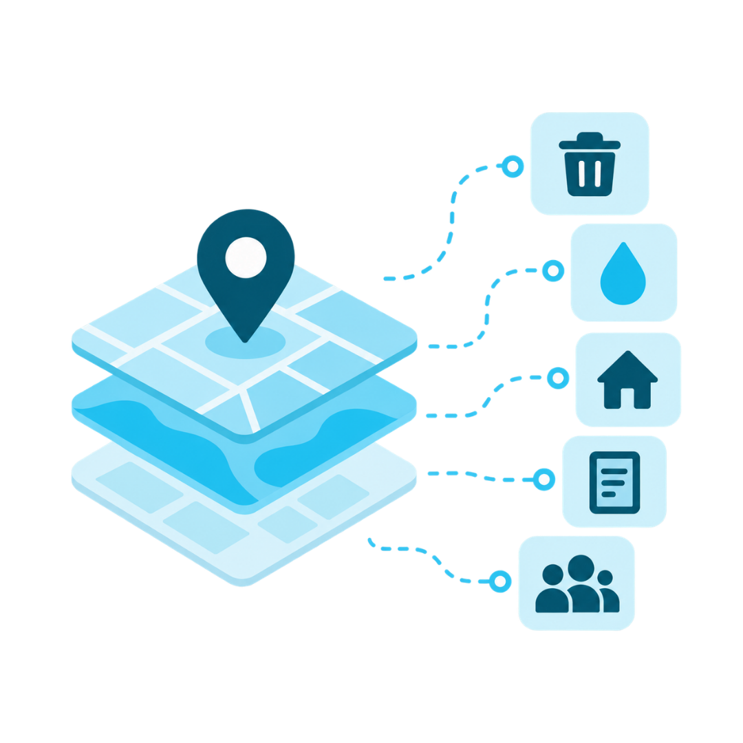
More Value From Your Data
Make the location data your team already maintains accessible through a simple conversation.
A Simple Process. Powerful Answers
How it Works
Residents ask questions that sound simple: When is my trash picked up? What district am I in? Can I build this on my property?
But the right answer often depends on where they live. Citibot connects conversations to your GIS data, allowing residents to get answers based on their actual address instead of searching maps, navigating department pages, or calling staff.
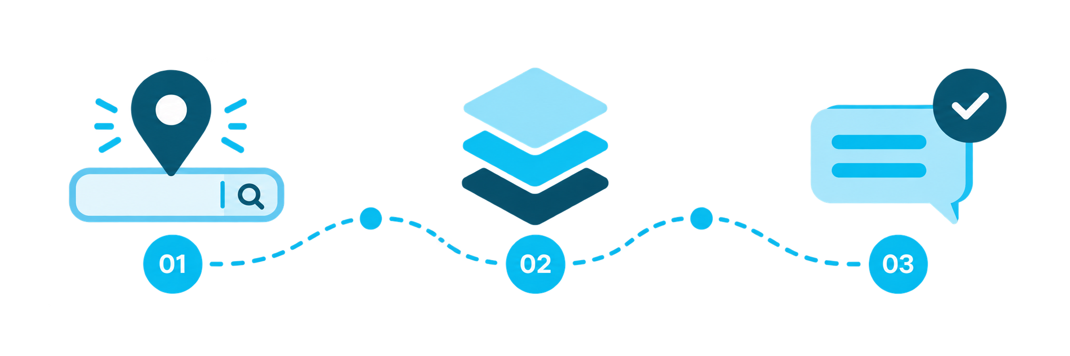
Resident Enters an Address
Citibot identifies the resident’s location and connects it to the appropriate parcel, zone, district, or service area.
Connects to Your Data
Citibot connects to your GIS to access relevant parcels, zones, districts, service areas, and authoritative data.
Delivers the Right Answer
Citibot provides the correct answer based on the resident’s specific location.
Location-Specific Answers for Everyday Questions
What You Can Do
From service schedules to property information, Citibot uses your GIS data to answer the questions residents ask every day.
Trash & Recycling
“When is my trash picked up?”
Get your collection schedule, holiday changes, and recycling information based on your address.
Zoning & Property
“What is my property zoned for?”
Find zoning details, future land use, and property information for any address.
Districts & Precincts
“What voting district am I in?”
See your council district, voting precinct, and other representation details.
Built on Your Data. Designed for Trust.
Location-specific answers need to be accurate, reliable, and secure. Citibot connects to the authoritative GIS data your organization maintains to deliver trusted answers based on each resident’s location—while keeping your systems and data protected.

Make Accurate Information Easier to Access
Turn the GIS data you already maintain into precise, location-specific answers residents can get through a simple conversation.